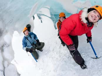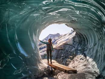
Katla ice cave by Super Jeep from Vík
Super Jeep and short glacier walk · 3 hours
✓ Free cancellation
from €239
Book on GetYourGuide
The Katla ice cave, the Sólheimajökull glacier, black sand beaches and the plane wreck on Sólheimasandur, all on the stretch of coast around the village. Compare the tours that start in Vík or close by and book the one that fits your trip.
Reykjavík about 2.5 hours by road · Puffins at Dyrhólaey late April to mid-August
 Ice cave toursTours from €158
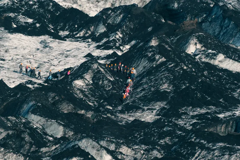 Glacier hikingTours from €66
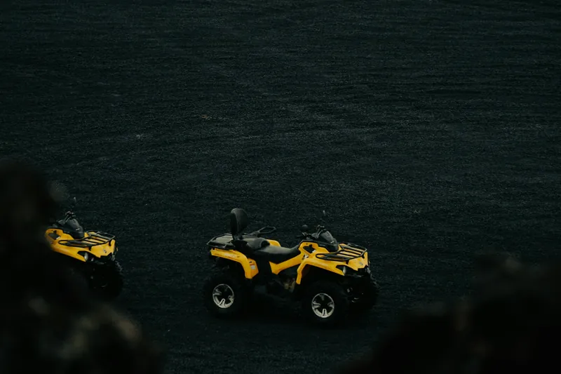 ATV and buggy toursTours from €138
 Super Jeep and highlandsTours from €313
 Horse ridingTours from €110
 Kayak, paragliding, ziplineTours from €152
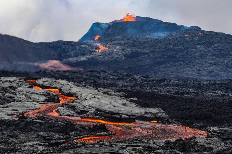 Lava ShowTours from €49
All activities, plus the beaches and waterfalls you can visit on your own
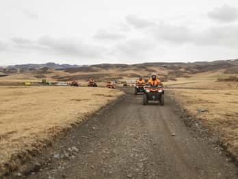
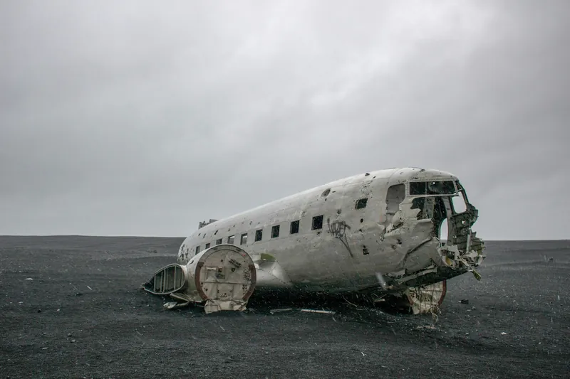
A Super Jeep from the village to the ice cave under Katla, a hike with crampons on Sólheimajökull, and a quad ride across Sólheimasandur that stops at the wrecked DC-3.
Super Jeep and short glacier walk · 3 hours
✓ Free cancellation
from €239
Book on GetYourGuideGlacier hike, small group · 4 hours (13.5 hours from Reykjavík)
✓ Free cancellation
from €93
Book on GetYourGuideSelf-drive quad, licence needed · 1 or 2 hours
✓ Free cancellation
from €138
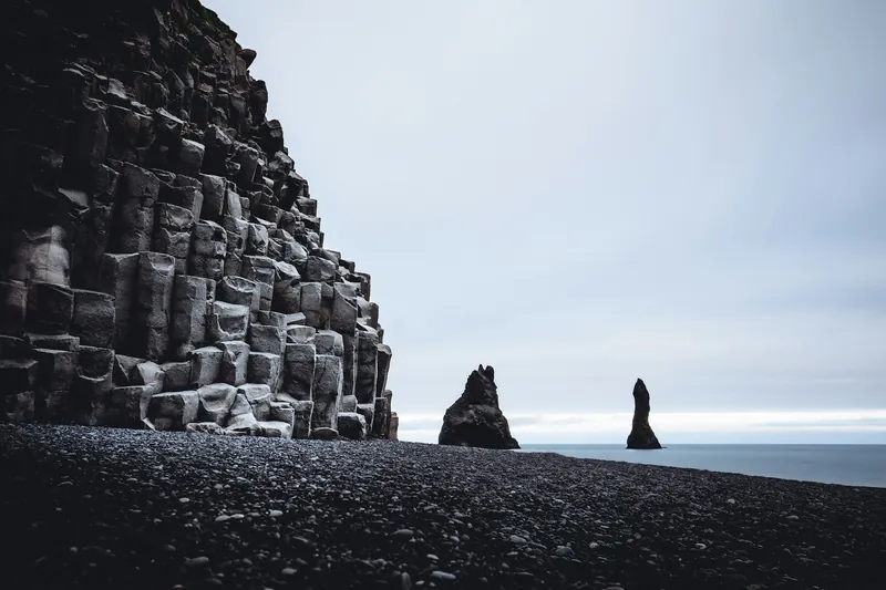
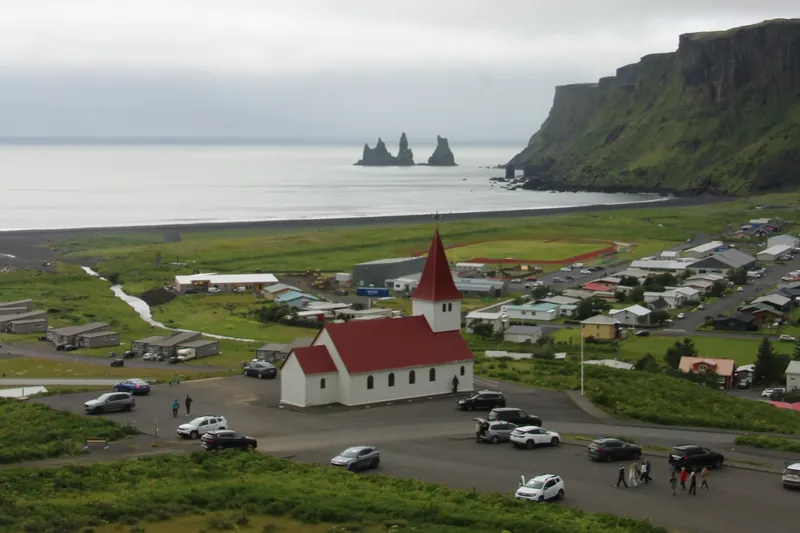
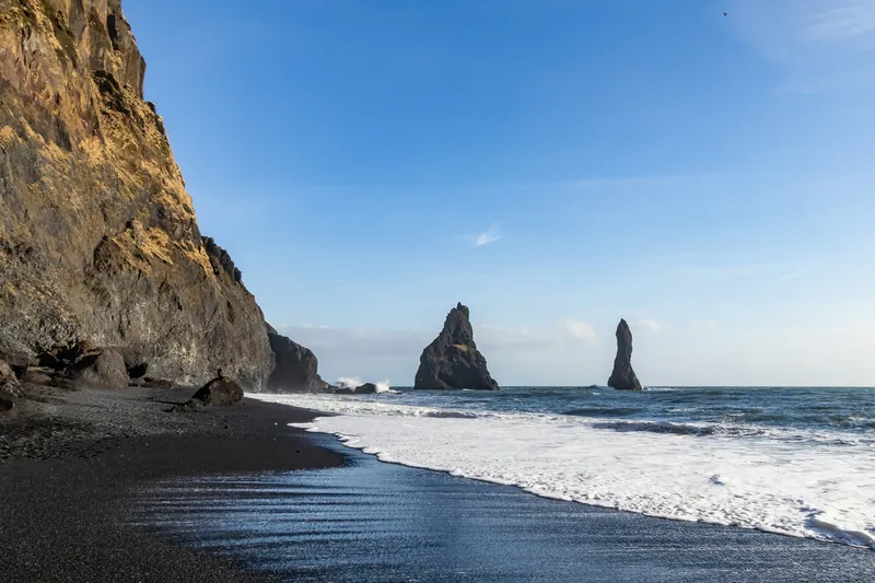
Book on GetYourGuideVík í Mýrdal is the southernmost village in Iceland, home to about 740 people, and according to Visit South Iceland the only one on the coast without a harbour. It sits below Reynisfjall, a 340 m mountain of tuff and basalt, and the 66 m Reynisdrangar sea stacks rise from the surf just offshore. Our page on the village covers what is within walking distance.
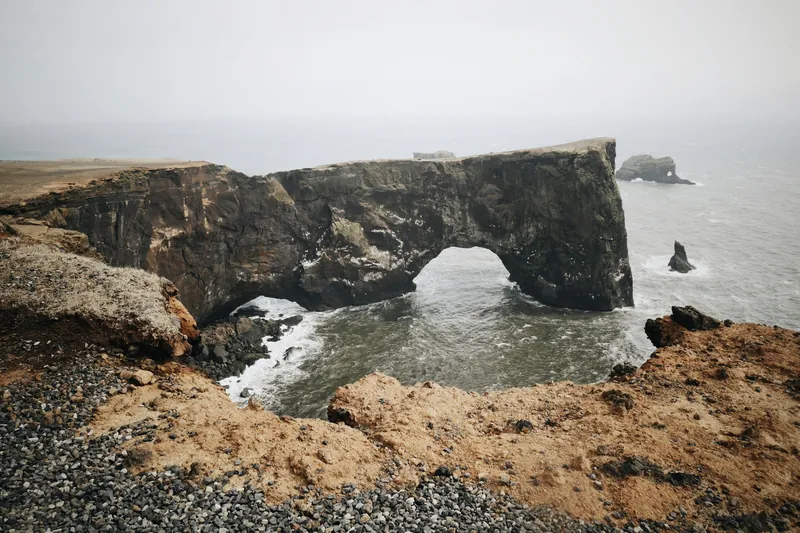
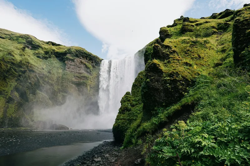
North of the village lies the Mýrdalsjökull ice cap, and under it the Katla volcano, which last broke through the ice in 1918. Vík is in the middle of the Katla Geopark. West along the Ring Road come Dyrhólaey, a 120 m promontory with a rock arch, then the Sólheimajökull glacier, the car park for the plane wreck 27 km from the village, and the 60 m Skógafoss waterfall.
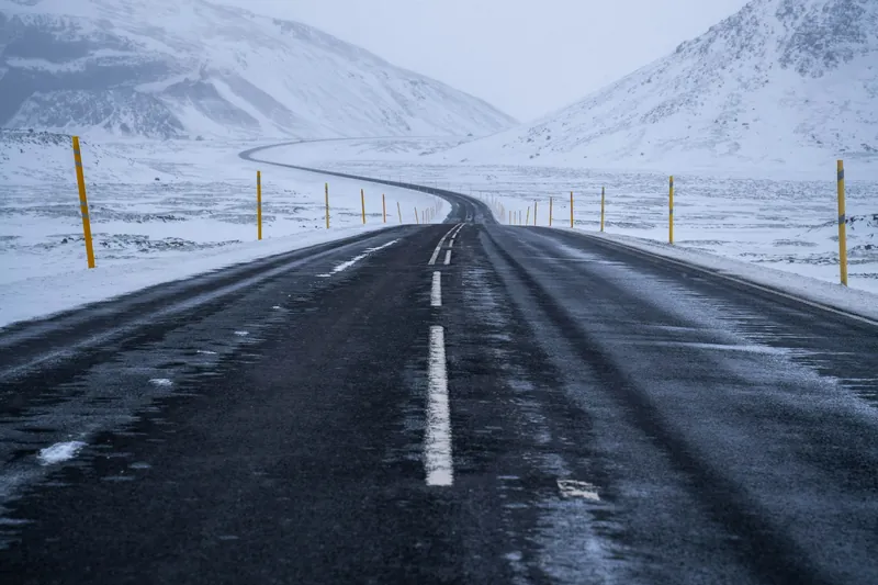
The weather shapes a visit more than the cold does. Monthly averages stay above freezing all winter, but the village records well over 2,000 mm of precipitation a year, so a waterproof layer belongs in every bag. The beach at Reynisfjara needs particular care: read the Reynisfjara page before you go, and see the month-by-month guide for what runs when.
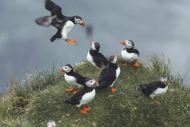
Vík works all year. Around midsummer the sun sets after 23:30 and the night stays bright, and puffins nest at Dyrhólaey from late April to mid-August. On 21 December the sun is up only from 10:59 to 15:29, but the Katla ice cave and the glacier tours run in winter too.
Yes, the waves there are deceptive and have killed several visitors in recent years, most recently in 2025. Keep well back from the water, and follow the signs and the warning light at the entrance: at yellow stay out of the yellow zone, at red do not go beyond the light. Erosion in February 2026 damaged the signs, so check what is in place on the day.
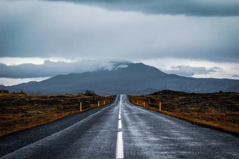
Roughly 180 to 190 km along the Ring Road, about two and a half hours on paved roads without stops. Skógafoss and Sólheimajökull lie on the way, west of the village.
Between roughly September and April the nights are dark enough, but you also need a partly clear sky, and Vík gets well over 2,000 mm of rain and snow a year. The cloud map in the aurora forecast of the Icelandic Met Office shows where the sky may open. A sighting is never guaranteed.
No. Vík Iceland is an independent guide. The official regional tourism organisation is Visit South Iceland (Markaðsstofa Suðurlands) at south.is, and the local municipality, Mýrdalshreppur, is at vik.is.
Tours from €49
Compare tours