Vík í Mýrdal, the village
About 740 people live in Iceland's southernmost village, the only one on the coast without a harbour. The church sits on a hill, Reynisfjall rises above the houses, and several tours start within a short walk.

Horse ride on the beach at Vík
Beginner ride, max. 10 · 1 hour
✓ Free cancellation
from €110
Book on Viator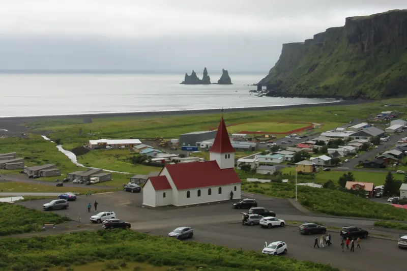
Visit South Iceland calls Vík í Mýrdal the southernmost village in Iceland and the only seaside village in the country without a harbour. It has long been an important trading post for the farmers of the south coast. Statistics Iceland counted 740 residents in the village on 1 January 2026, and about 1,030 in the municipality of Mýrdalshreppur in mid-2026. Vík is the place on this stretch of the Ring Road where you find supermarkets, restaurants, public toilets and petrol stations.
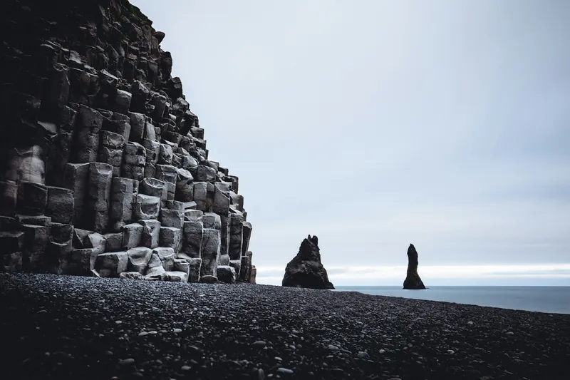
Above the village rises Reynisfjall, a 340 m tuff mountain, and below its south-facing cliff stand the Reynisdrangar sea stacks, 66 m high. Vík also lies at the centre of Katla Geopark, named after the volcano under the Mýrdalsjökull ice cap to the north.
The church on the hill
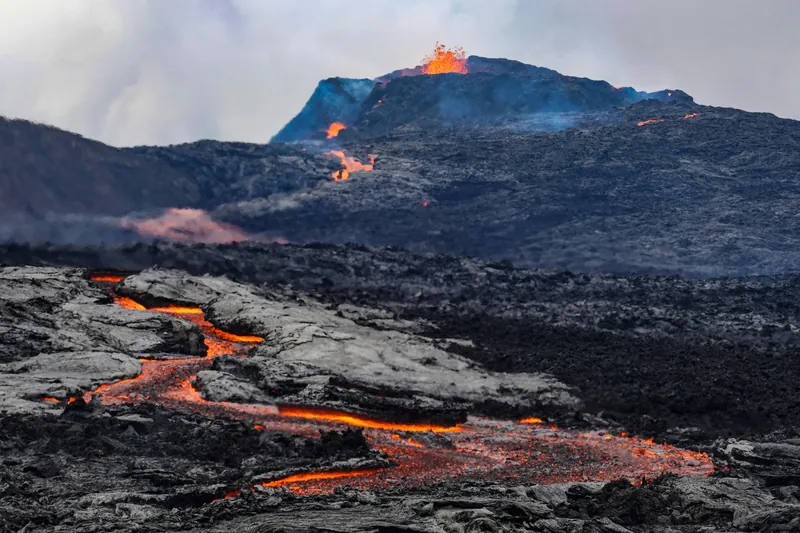
Víkurkirkja, with white walls and a red roof, stands on a hill overlooking the village and the sea; the village audio guide gives 1934 as the year it was built. The Icelandic Met Office lists Katla as the fourth most active volcanic system in the country, with at least 21 eruptions in the last 1100 years; the last one to break through the ice was in 1918.
The Katla centre in the village has a free exhibition about the volcano and the geopark, a good first stop before an ice cave or glacier tour. Our ice cave tours page covers the trips onto Mýrdalsjökull.
Reynisfjall and the sea stacks
Visit South Iceland calls a walk up Reynisfjall a local favourite, for the view over the Atlantic and the bird cliffs. A guided version starts behind the information centre and climbs to the south-facing cliff with the Reynisdrangar and the black beach directly below, about 40 minutes up. In summer puffins nest along the cliffs. The same mountain is the usual take-off point for tandem paragliders, who meet at a white house by the shore near the Skaftfellingur Museum.
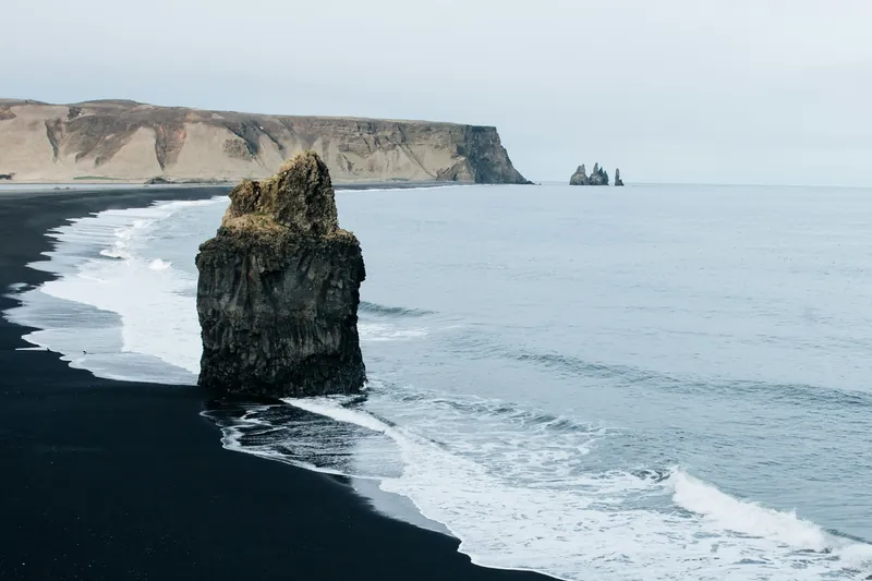
Reynisfjara, at the foot of the same mountain, has basalt columns and a warning system for the waves; read our Reynisfjara page before you go. The beach in front of the village is called Víkurfjara.
The Lava Show and other things in the village
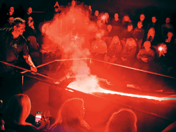
The Lava Show at Víkurbraut 5 heats real lava to about 1,100 °C and pours it into the room a few metres from the audience. The show lasts about 50 minutes, runs in summer and winter, is open to all ages and is held only in English. Arrive 15 minutes before the start. Reviews say a large part of the time is talk and film, with the lava itself flowing for a few minutes, and some parents found it long for small children. On a stormy afternoon it is the obvious indoor choice.
A stable at Smiðjuvegur 6, reached through the Orkan petrol station, takes riders from 10 years along Víkurfjara for an hour, mostly at walking pace. Katlatrack runs ziplines in Grafargil canyon, five minutes by Super Jeep from its base in Vík, for children from 8. More on both is on our pages on horse riding and kayaking, paragliding and zipline.
Weather and light
Vík is one of the wettest places on the Icelandic coast. The Met Office station in the village recorded about 2,400 mm of rain a year on average in the 1990s, and monthly mean temperatures ran from about 1 to 2 °C in winter to 11 °C in July and August. No month averaged below freezing. A branch of the Gulf Stream along the south coast keeps the winters mild, according to the Met Office, and brings more rain than in the north.
On 21 December the sun rises at 10:59 and sets at 15:29. On 21 June it is up from 03:00 to 23:35 and the nights stay bright. There is no midnight sun and no polar night here, since Vík lies well south of the Arctic Circle.
Getting here and moving on
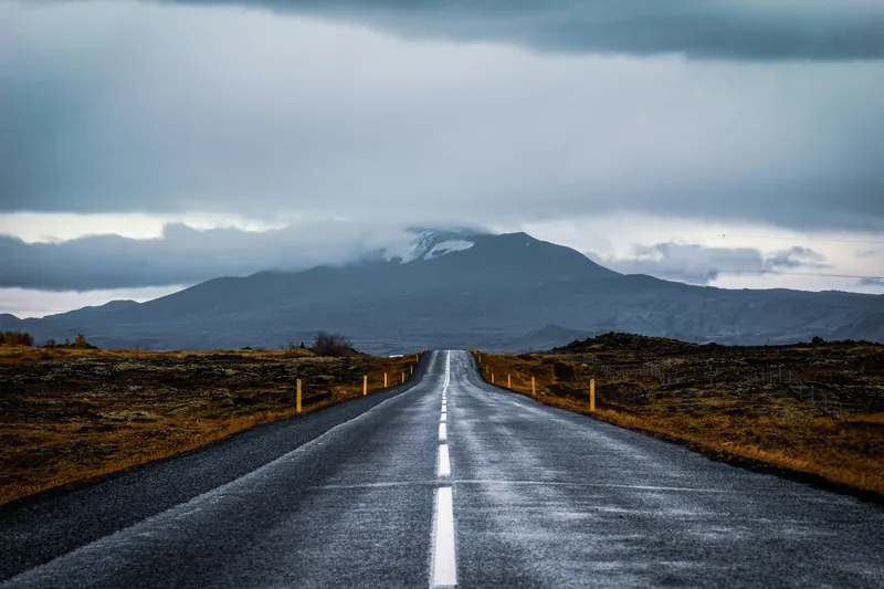
Most visitors arrive by car on the Ring Road. Reykjavík is roughly 180 to 190 km away, about two and a half hours without stops. Driving west, the car park for the DC-3 plane wreck on Sólheimasandur is 27 km from Vík, with Sólheimajökull and Skógar a few kilometres beyond. Wind and snow change driving conditions quickly, so check umferdin.is or call 1777 before setting off. Details are on our getting to Vík page.
All tours side by side
Everything here starts in the village: the Lava Show, the stable on Smiðjuvegur, the zipline base, the paragliders by the shore and the guided walk up Reynisfjall.
| Tour | Format | Duration | Age | Rating | From |
|---|---|---|---|---|---|
| Lava Show ticket in VíkLava ShowReal lava heated to 1,100 °C is poured a few metres from the audience while a presenter explains Iceland's eruptions, in English. | Indoor showEntrance ticket | 50 minutesLava Show, Vík | All ages | 4.7 (1,281 reviews) | From €49Free cancellationBook on GetYourGuide |
| Horse ride on the beach at VíkVik Horse AdventureAn hour on Icelandic horses along Víkurfjara, the black sand beach at Vík, mostly at walking pace with a chance to try tölt. | Beginner ride, max. 10Icelandic horse, helmet | 1 hourStable at Smiðjuvegur 6, Vík (via Orkan station) | From 10 years, max. 100 kg | 4.8 (576 reviews) | From €110Free cancellationBook on Viator |
| Tandem paragliding over VíkTrue AdventureAn instructor pilot flies you for up to 15 minutes, weather permitting; keep about two hours free and call the day before. | Tandem flightFlight of up to 15 minutes | 1 hourTrue Adventure, Vík | From 12 years, 30 to 120 kg | 4.9 (20 reviews) | From €315Free cancellationBook on GetYourGuide |
| Guided walk up ReynisfjallTrue AdventureA guide leads you up Reynisfjall to the south cliff above the Reynisdrangar sea stacks; puffins nest there in summer. | Guided walk | 1 hourTrue Adventure, behind the Vík information centre | Children from 6 | – | From €65Free cancellationBook on Viator |
Prices and ratings come from the booking platform and are shown in euros per person. If you book through these links we earn a commission. Your price stays the same. Sorted by number of reviews.
Questions travellers ask
How far is Vík from Reykjavík?
Roughly 180 to 190 km on paved roads. Perlan gives 187 km and about 2.5 hours for the drive without stops.
Does Vík have shops and petrol stations?
Yes. The village has restaurants, supermarkets, public toilets and petrol stations, so you can stock up here before heading on along the Ring Road.
What is there to do in Vík when it rains?
The Lava Show on Víkurbraut runs in any weather, and the Katla centre has a free exhibition about the volcano and the geopark. Both are in the village.
Is Vík in danger from the Katla volcano?
Vík lies at the edge of the Katla volcanic system under Mýrdalsjökull, whose last eruption to break through the ice was in 1918. The Icelandic Met Office counts it as the fourth most active volcanic system in Iceland.
Is this the official tourist information for Vík?
No. This is an independent guide. Official information comes from Visit South Iceland (south.is) and the municipality of Mýrdalshreppur (vik.is).
Where these facts come from
Dates, opening hours and rules change. We checked these pages in October 2026; the official source has the final word.
- Visit South Iceland: Katla Geopark and Vestmannaeyjar, towns
- Visit South Iceland: Reynisfjara, Reynisfjall and Reynisdrangar
- Visit South Iceland: Icelandic Lava Show
- Veðurstofa Íslands: Katla
- Veðurstofa Íslands: Monthly averages, station 798 Vík í Mýrdal
- Statistics Iceland: population by urban locality, 1 January 2026
- Statistics Iceland: population by municipality and quarter
- Perlan: Vík Iceland
- VoiceMap: Víkurkirkja
- Icelandia: Plane Wreck Shuttle
- US Naval Observatory: Sun data for Vík
- Vegagerðin: Traffic service 1777
- Tour pages on GetYourGuide and Viator, checked 23 October 2026